Libya National Geospatial Portal - Libya
Geographic Information System (GIS)
Business Needs
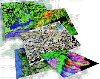
Data layers and tables in most geographic information system (GIS) databases come from multiple organizations. Each GIS organization develops some, but not all, of its data content, and other layers come from external sources. This results in a system in which GIS data management is distributed among many users. GIS users are hungry for quality geographic information; therefore, there is a fundamental need for users to share their data. Vast resources of information are available today, but the task of finding exactly what you need and knowing the quality and currency of the information can be daunting.
Furthermore, users often duplicate data collection work. While collaborative efforts are often used, massive duplication of GIS datasets is quite common and costly. Bottom line: GIS users need a mechanism to efficiently catalog and search for available geographic information and to openly share this information.
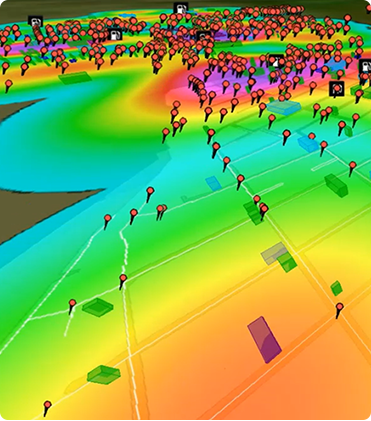
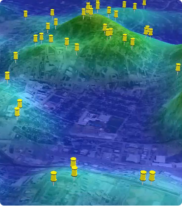
LNGP IS A SINGLE POINT OF ACCESS TO SPATIAL INFORMATION
Solution Concept
LNGP Libya National Geospatial Portal
LNGP Libya National Geospatial Portal is based on Esri Portal Toolkit which is commercial off-the-shelf software that is consistent with international standards, open and scalable and easy to customize using standard development technologies. LNGP is a single point of access to spatial information, regardless of the location, format, or structure of the data source. LNGP connects desktop users with disparate data holdings and applications.
Golden Points
- Metadata portal catalogs where users can search for and find GIS information relevant to their needs
- GIS nodes where users compile and publish GIS information sets and LSDI Portal administrative staff have the tools to approve data submitted for publication and to view Portal monitoring reports
- GIS users who search for, find, and then connect to and use published GIS data and services