Remote Sensing
Remote Sensing Data Utilization Becomes Essential in Many Geospatial Applications Worldwide
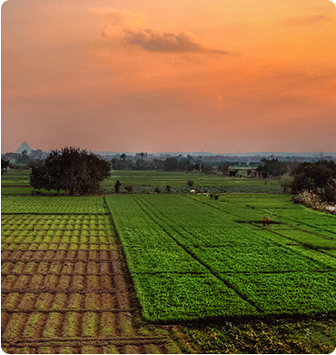
QSIT remote sensing services help in different industries
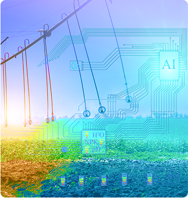
In QSIT, we believe remote sensing is a fundamental key to solve many social, economic, and environmental problems in our community. The remote sensing team in QSIT utilizes various remote sensing data such as Visible/Near Infrared, Shortwave Infrared, Thermal, Lidar, Radar, and Nighttime data to fix problems, monitoring, and predict necessary information for different industries.
Information of spectral signature for Multi/Hyperspectral imagery, Spectral indices like NDVI and NDWI, Surface temperature, Nighttime lights, Lidar point cloud, Radar intensity, and Interferometric Synthetic Aperture Radar techniques such as D-InSAR, PS-InSAR, and Coherence Change Detection are well preserved in our remote sensing team products. We are always up-to-date to apply cutting-edge remote sensing methods for problems solving. QSIT remote sensing services help in different industries like mineral exploration, agriculture, natural vegetation, weather conditions, environmental monitoring, urban planning and development, military applications, archeology, Topography, and surface instability assessment.