ALDAR Enterprise GIS System - UAE
ALDAR Properties - United Arab Emirates
Business Needs
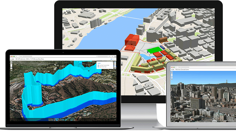
ALDAR wanted to create “World Class Cities” and to be part of the best service in the region for guaranteeing ownership of land and facilitating property transactions. They needed a system that can help them to Meet UPC’s Spatial Data Submission Specifications “which require that master plans be submitted in GIS format”, establish a means of consuming AD SDI’s data and overlaying ALDAR master plans and as-built data with that of the AD SDI, and Build a configurable web-based map viewer.
Golden Points
- Completing Phase I of the project by a drop-dead date to be presented at a high-profile event targeted to ALDAR senior management.
- Employing our wide experience and development best practices, as well as our development of the AD SDI to ensure quick and rigorous development of ALDAR GIS system.
- Meeting obligations to UPC, AD-SDI and ADM preparing for compliance with future regulations while avoiding penalties.
- Submitting development data that conforms to the UPC requirements which reduces planning approval timelines