Public Safety
Protecting Communities
Current situation
Today, our communities are exposed to threats, either natural or fabricated, which require full-scale situation assessment, mitigation, preparation and response. This new reality entails rethinking policies, plans, and allocation of resources. Hence, it has become inevitable for any concerned authority to work on ensuring the safety and security of its citizens, securing its assets and properties, as well as, maintaining its continuity of government.
In fact, worldwide events have served to heighten the importance of these responsibilities, and emphasize the need to understand systems, infrastructure, and design of everything that contributes to the above mission.
Key Challenges

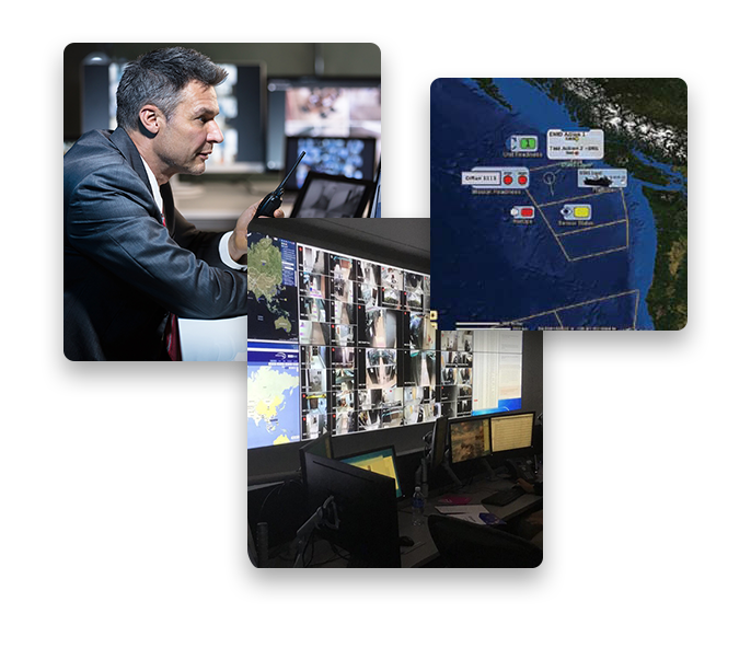
Real-Time Operational Support

Full Situational Awareness

In-field Collaboration

Understand a Complex Situation

Shorter Time and Accurate Response
Our Solutions
In response, QSIT is offering multiple products and solutions that address nation needs on the three main levels operational, tactical and strategic.
Public Safety and Security
Geographic Security System GSS™ – is a comprehensive, on-premise web-hosted, Geo-enabled incident information management system designated for public safety command and control Centers; facilities with 9-1-1 (or equivalent telephone numbers, such as 1-1-2 and 9-9-9) capability for receiving calls assigned to telephone number for emergency/non-emergency services via standard integration interface with CTI solution, operated on a 24-hour basis, and, as appropriate, dispatching emergency services.


Mission VIP Security Planning
Solution that supports planning of mission and operation in three main aspects:
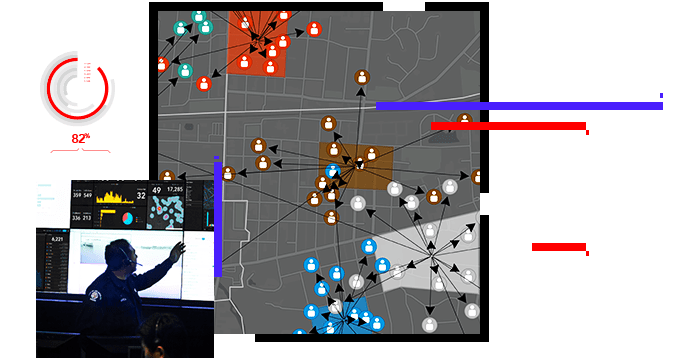
Crime Mapping and Analysis
It refers to the process of conducting spatial analysis within crime analysis. In witch, the geographic information system is used to conduct spatial analysis of crime problems and other police-related issues. Crime mapping serves three main functions within crime analysis: