MSAD - Higher Commission for Elections - Egypt
Geographical Electoral System
Business Needs
Ministry of State for Administrative Development (MSAD) was seeking for a GIS enterprise system that will enable electoral authorities to improve voters’ ability to access polling centers by assigning them to polling stations near their homes and avoid occurrences of citizens living in the same immediate area having to vote in different and remote polling stations.
Golden Points
- Centralized data source
- Registering voters and managing voters’ data
- Providing easy access to Elected Officials information
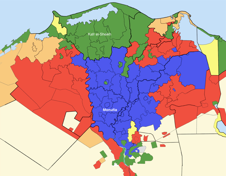
- Displaying elections results on map
Used Software
- ArcGIS Server 10.1 (Standard Enterprise)
- ArcGIS Server Network Analyst Extension
- ArcGIS Desktop Standard 10.1 (ArcEditor)
- ArcGIS Desktop Network Analyst Extension
- RDBMS (i.e. SQL Server)