Geospatial Data Services
Our Data Experts Provide Integrated Comprehensive Geospatial Data Services Taking Full Advantage
Geospatial Data Services
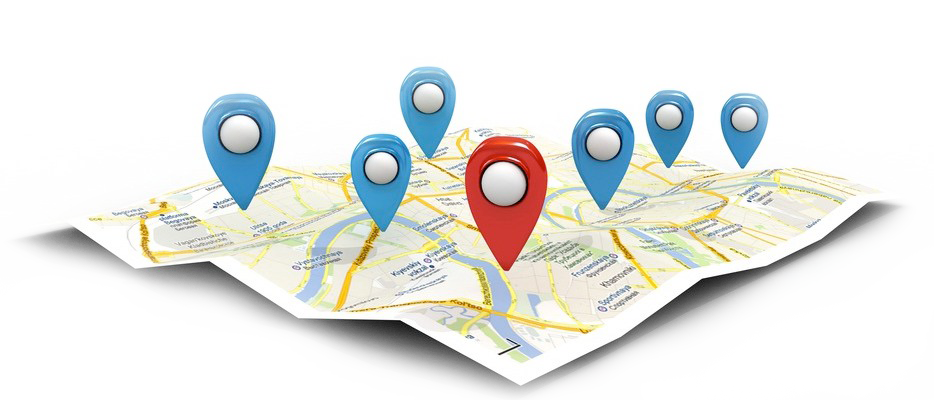
Location data is increasingly central to decision-making across all organizations.
Working with geospatial data requires specialized knowledge and the application of advanced methodologies. Our data experts provide integrated comprehensive geospatial data services taking full advantage and getting value from the data. Believing that trusted data is the key to digital transformation, our data experts set the foundations of the data as an asset to make it meaningful and business-driven with the target of making progress toward business goals.
Our Data Services include data collection, conversion and creation from our supply of up-to-date mapping to the integration of map-based information with database records.

Data Production
We produce a wide range of ISO-compliant digital maps with different scales and types. Production
Cycle includes data acquisition, collection of ground control points, digitization, surveying, data collection, data entry, quality control and data cartographic visualization.

Data Conversion
Data coming from different sources often come in different shapes and formats. With the perfect tools for data processing and conversion; QSIT Data Experts help you easily convert papers, documents, spreadsheets, CAD files or any form of data to GIS ready data.

Data Migration
Whether due to technological updates, system upgrades or project expansion, inevitably there will come a point when every organization will need to migrate their GIS data from one storage type to another. With the perfect tools for data processing and migration, QSIT data experts help you smoothly migrate binary.
Data Management
QSIT Data Experts help you manage conversion, organization, editing, integration and enhancement of data (spatial and tabular, hardcopy, scanned and non GIS digital formats). This effort insures interoperability and reconditioning with national and international standards in addition to updating obsolete Geodatabases to match changes in real world Work Flows.
Cartography
QSIT Data Experts deliver custom developed digital maps according to customer’s specifications and business needs in different shapes with different sizes, styles and formats to serve the required data visualization and cartographic representation, ready for publishing over different media for ease of use and accessibility. Cartographic products are complemented with consultancy services.
COMPREHENSIVE ON-JOB TRAINING
Custom tailored on-job training for professionals from all disciplines on map production, data conversion, QA/QC, etc...
3D Models
Many applications require analysis of three dimensional data models that incorporate elevation values for gaining more insights, making better decisions and communicating ideas more effectively.
By generating Digital Elevation Models, Digital Surface Models and 3D GIS Data from different sources as contour maps, field data and other sources of data; we help you display more information, reach deeper understanding and analysis of the geography.

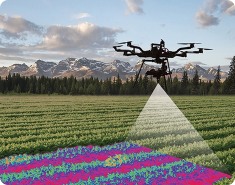
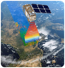
Remote Sensing Photogrammetry
Photographs are the most fundamental medium for many applications we provide medium to high resolution satellite imagery from Urthecast, Airbus, Here Maps and Harris, complemented with sophisticated remote sensing techniques and applications, services include: