EGAS - Egypt
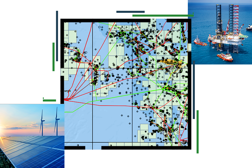
Egyptian Company for Natural Gas Crises Map
Business Needs
In alignment with Egypt Vision 2030 and Egypt’s digital transformation strategy, the Ministry of Petroleum and Mineral Resources wants to establish a unified national network to operate with integrity improving health, safety, and environmental operational requirements by providing public safety services.
Empowered by the fact of having common interfacing points and the dependency of decision making on information retrieval and communication among different departments, the Egyptian Company for Natural Gases (EGAS) exploits the existing infrastructure of the company and builds a geographical database for the sector using GIS to create an interactive map for emergencies and crisis management.
The goal of this map is to provide an integrated spatial view available for all concerned parties that enables access to all relevant information (such as sector assets sites, crises control resources, locations of health services points, emergency plans, accident sites ...) to achieve situational awareness and assistance in the crisis management process.
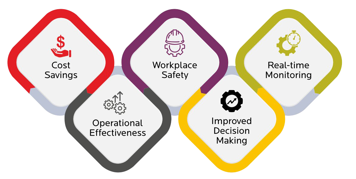
Golden Points
- Improving response time to emergencies
- Improving resource management
- Facilitating basic information sharing among different departments and functions
- Facilitating operations follow-up for decision-makers
- Collecting conformity indicators to Security and Safety requirements per region
- Collecting analytical data on accident statistics
Used Software
- ArcGIS Server
- Portal for ArcGIS
- Operation Dashboard for ArcGIS
- ArcGIS Network Analyst