NATGAS - Egypt
Geospatial Platform - Producing digital gas network maps
Business Needs
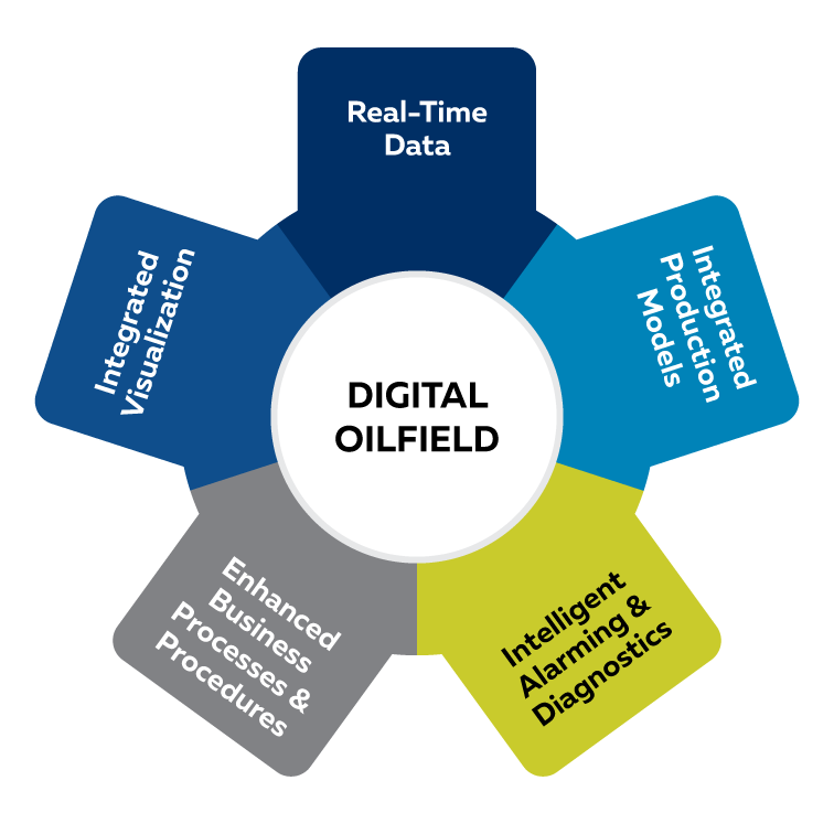
NATGAS is considered the largest private local distribution company in Egypt undertaking the transportation and distribution of natural gas to end-users. One of the challenges facing the company is the wasted time in collecting the company's customer data on paper, then entering the data, as well as the accuracy of geographical data. Therefore, a powerful geographic information system is vital in facilitating and expediting the collection and presentation of data in an integrated view. This geographic Information System (GIS) represents a framework to organize, communicate, and understand data gaining actionable intelligence from all types of data. The operations dashboards provide a real-time operational view monitoring the activities and key performance indicators that are most vital to meet the organization’s objectives considering NATGAS’s large geographical coverage and a huge number of customers. These dashboards display KPIs related to contracted and proposed customers across areas.
Golden Points
- Improving the occupational performance of day-to-day tasks
- Achieving operational and business goals
- Proven return on investment using the Geospatial Platform
- Real-time monitoring for contracted customer’s consumption
- Preparing distribution plans for non-contracted areas
- Proactively address emergencies through integration between maps and financial department and emergency cars
Used Software
- ArcGIS Enterprise Advanced
- ArcGIS Server
- ArcGIS Desktop 10.8 Standard
- ArcGIS Pro
- Operation Dashboard for ArcGIS